
Every mission, end-to-end.
We capture, process, analyse and deliver — from mission planning with the right UAV and sensor through to measurements, models and maps your team can act on.
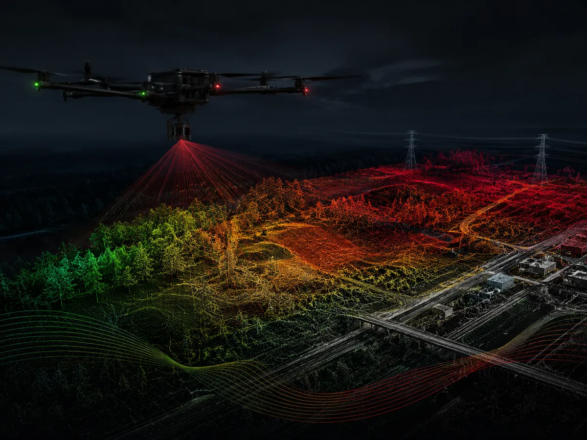
LiDAR Surveying
High-density laser scanning from UAV platforms for terrain, vegetation and asset mapping. Outputs can include classified point clouds, DTM/DSM, contours and survey-ready spatial data.
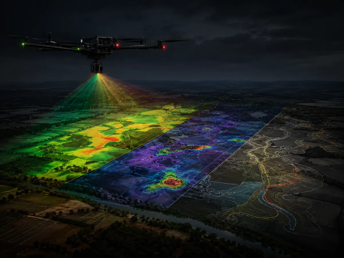
Multispectral Imaging
Capture of visible and near-infrared spectral information for vegetation assessment, crop-health mapping, environmental monitoring and targeted field analysis.
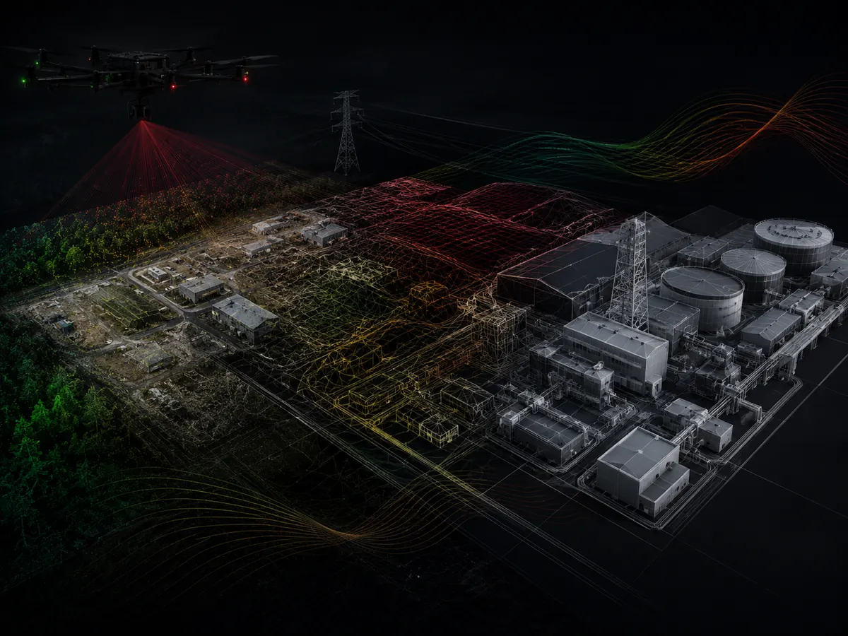
Thermal Imagery
Radiometric thermal surveys to identify heat patterns and anomalies across solar assets, buildings, electrical equipment, industrial facilities and selected environmental applications.
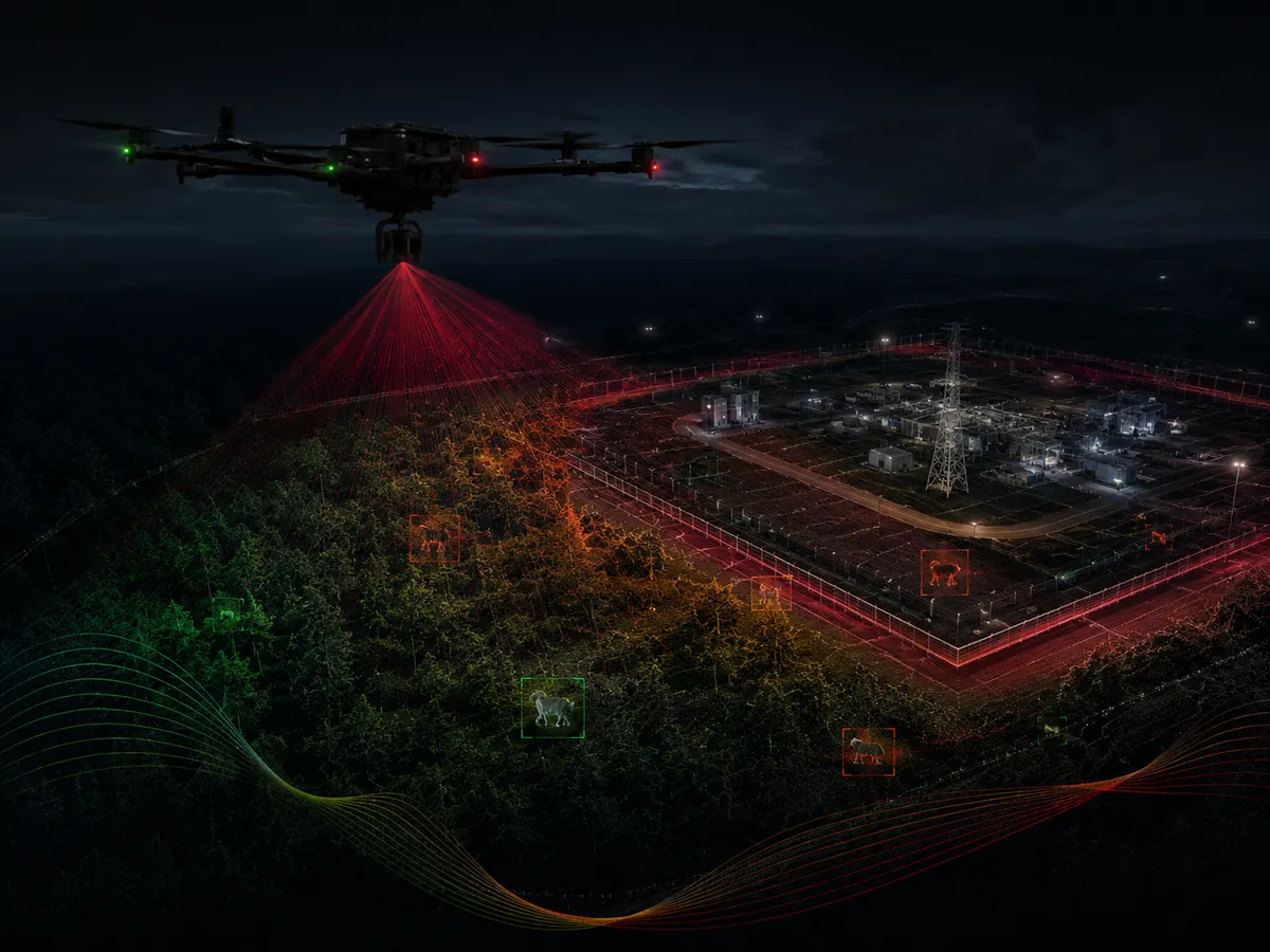
Aerial Surveillance
High-resolution aerial observation for site security, asset monitoring, incident documentation and situational awareness over large or difficult-to-access areas.

Conservation & Environmental Monitoring
Drone-based mapping and observation for habitat monitoring, wildlife surveys, vegetation assessment, erosion/change detection and environmental documentation.
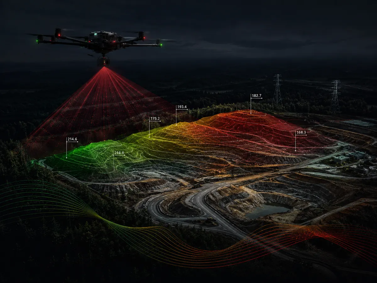
Topographic Survey
Detailed terrain capture for engineering, planning, construction and land development, including contours, spot elevations, orthomosaics and digital elevation models.
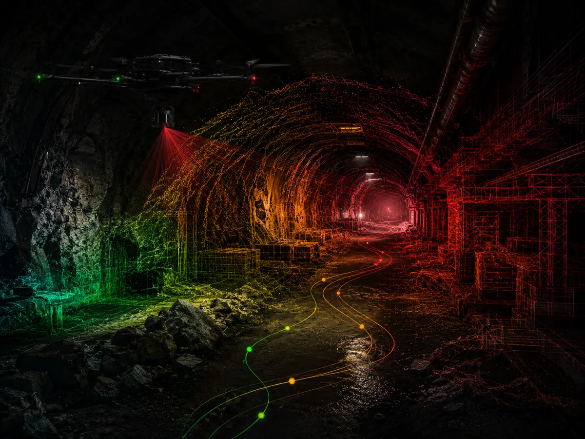
3D Modelling & Reality Capture
Photogrammetric and LiDAR workflows that convert aerial data into measurable 3D meshes, point clouds and digital representations of sites and structures.

Infrastructure Inspection
Close-range aerial inspection of bridges, roofs, towers, industrial structures and other assets, reducing the need for difficult access while creating visual records for assessment.
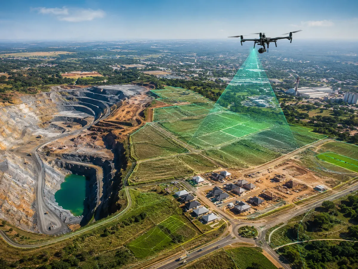
Mineral Exploration
UAV-enabled geological and geophysical data acquisition, including aerial imagery, terrain mapping and compatible geophysical sensor surveys to support exploration targeting.
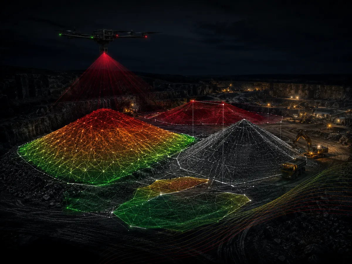
Stockpile Calculation
Rapid aerial measurement of stockpiles, quarry materials, dumps and earthworks, producing mapped boundaries, surface models and volume calculations for inventory and project control.
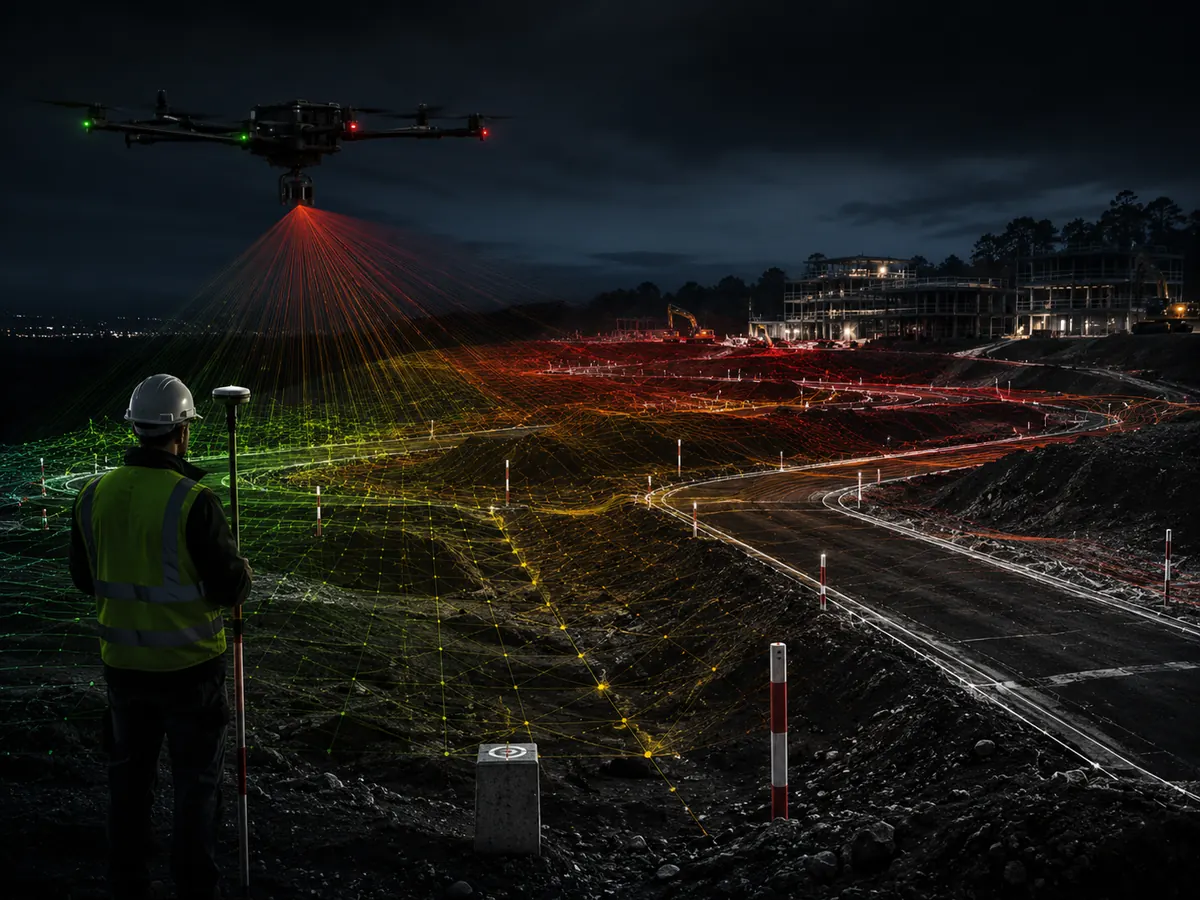
Corridor Survey
Linear mapping of roads, railways, pipelines, powerlines and other corridors using UAV imagery and/or LiDAR for route planning, inspection, design and monitoring.
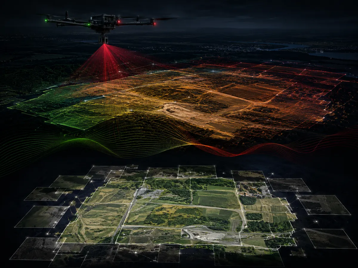
GIS & Mapping Support
Integration of aerial survey outputs into GIS workflows for mapping, spatial analysis, asset inventories, change detection and decision-support products.
What you receive at the end of a mission.
Have a unique requirement?
We custom-build mission profiles for specialised projects.
Talk to our team