A Zambian aerospace company built for the future.
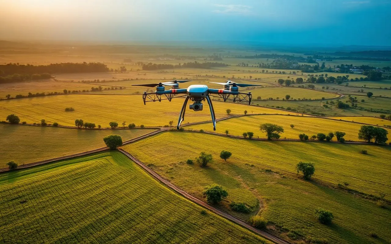
Rehepa Aerospace Ltd is a Zambian aerospace and drone-technology company delivering aerial data, surveying, mapping, inspection and monitoring solutions. We support clients across government, mining, engineering, agriculture and commercial sectors using modern UAV and geospatial workflows.
Our approach is Capture, Process, Analyse and Deliver: planning safe missions with the appropriate UAV and sensor; converting raw observations into structured geospatial information; extracting measurements, anomalies, volumes and terrain information; and delivering practical outputs for engineering, GIS, planning, operations and management.
To become a trusted leader in aerospace services, recognised for excellence, reliability, and value-driven aerial solutions across Zambia and beyond.
To deliver high-impact aerospace and drone services driven by innovation, safety, and professionalism, enabling smarter decisions through accurate aerial data.
What we stand for.
- Innovation and continuous improvement
- Professionalism and integrity
- Safety-first operations
- Accuracy and reliability in data delivery
- Client-focused service and flexibility
Aviation safety, by design.
Rehepa Aerospace Ltd is fully committed to the highest standards of aviation safety. Our management provides leadership, resources and oversight to ensure all RPAS operations comply with ZCARs Part 18 and ICAO standards. Supervisors ensure adherence to safety procedures, operational compliance, personnel competence, and a proactive safety culture.
The people behind every flight.






Licensed and mission-ready.
Every Rehepa mission is led by experienced, ZCAR-compliant remote pilots with a commitment to safety, precision, and professionalism.
Growing Zambia's aerial data capacity.
Rehepa Aerospace is expanding its technical capacity to take on larger and more demanding assignments. We welcome clients seeking repeat survey and monitoring work, as well as strategic, financial and equipment partners who want to help scale professional drone and geospatial services in Zambia and beyond.
Investment priorities
- Professional mapping, LiDAR and RTK/PPK UAV systems
- Multispectral and thermal imaging sensors
- SLAM/LiDAR systems and GNSS/RTK surveying equipment
- High-performance GIS and photogrammetry workstations and software
- Agricultural spraying drones
- Staff training and professional development
- Working capital for larger contracts and project mobilisation