
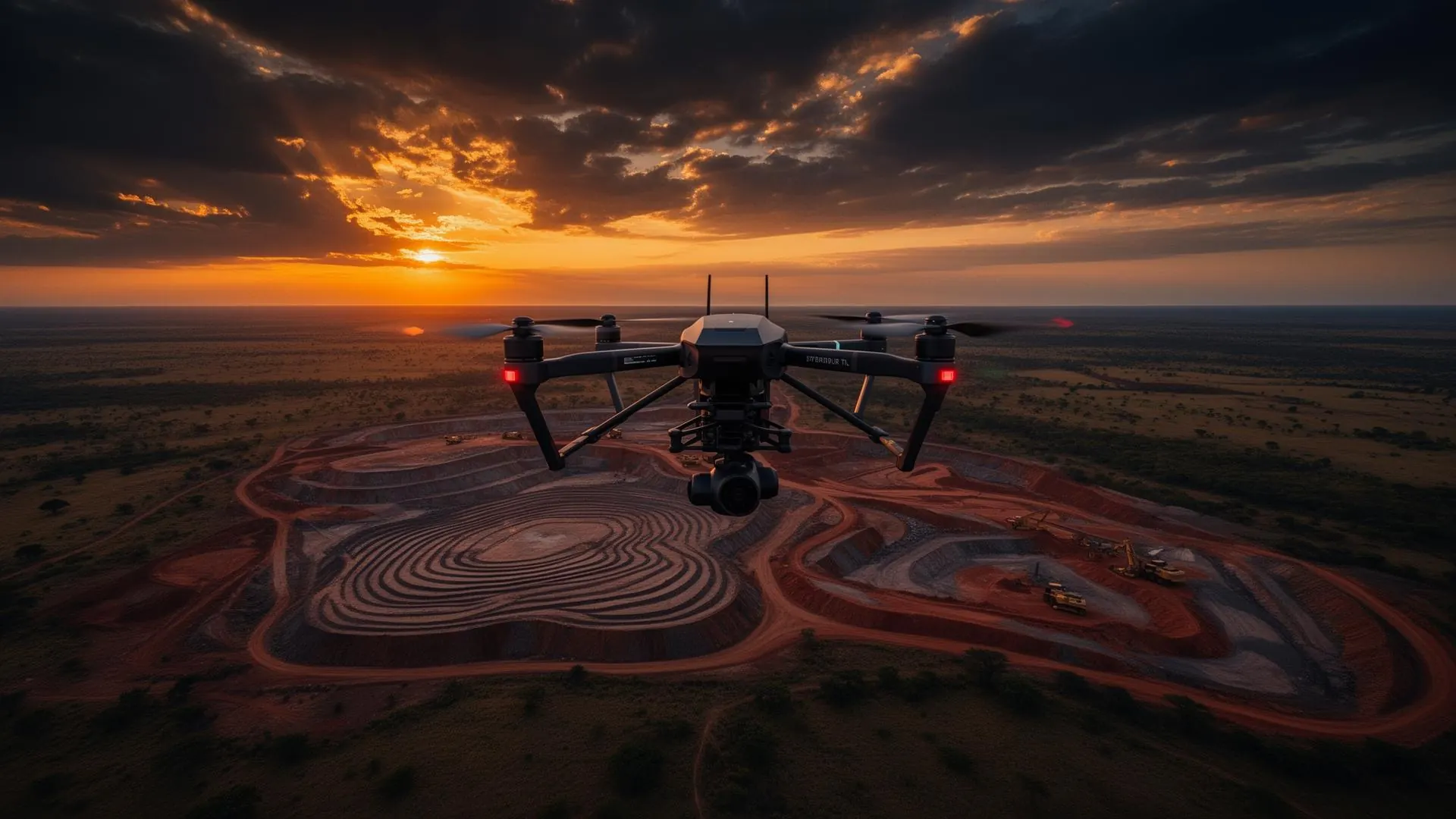
Accurate aerial data for smarter decisions.
Rehepa Aerospace delivers professional drone and geospatial solutions — surveying, mapping, inspection and monitoring — for government, mining, engineering, agriculture, conservation and commercial clients.
From flight to decision.
See more, measure more, risk less.
Modern UAV and geospatial workflows let teams capture large or difficult sites quickly and safely, then turn that data into measurements, models and maps they can act on.
A complete aerial toolkit.
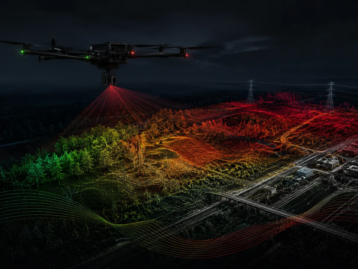
LiDAR Surveying
High-density laser scanning from UAV platforms for terrain, vegetation and asset mapping. Outputs can include classified point clouds, DTM/DSM, contours and survey-ready spatial data.
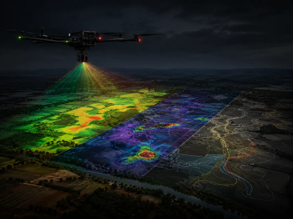
Multispectral Imaging
Capture of visible and near-infrared spectral information for vegetation assessment, crop-health mapping, environmental monitoring and targeted field analysis.
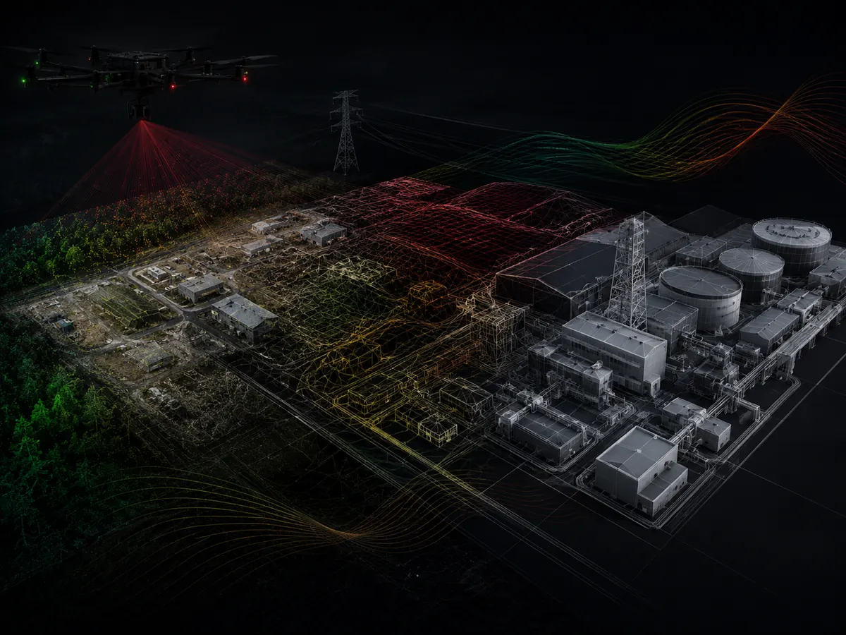
Thermal Imagery
Radiometric thermal surveys to identify heat patterns and anomalies across solar assets, buildings, electrical equipment, industrial facilities and selected environmental applications.
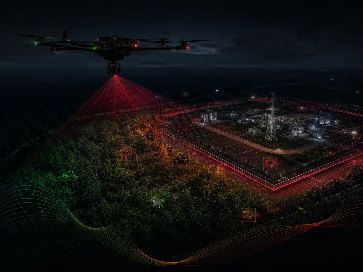
Aerial Surveillance
High-resolution aerial observation for site security, asset monitoring, incident documentation and situational awareness over large or difficult-to-access areas.
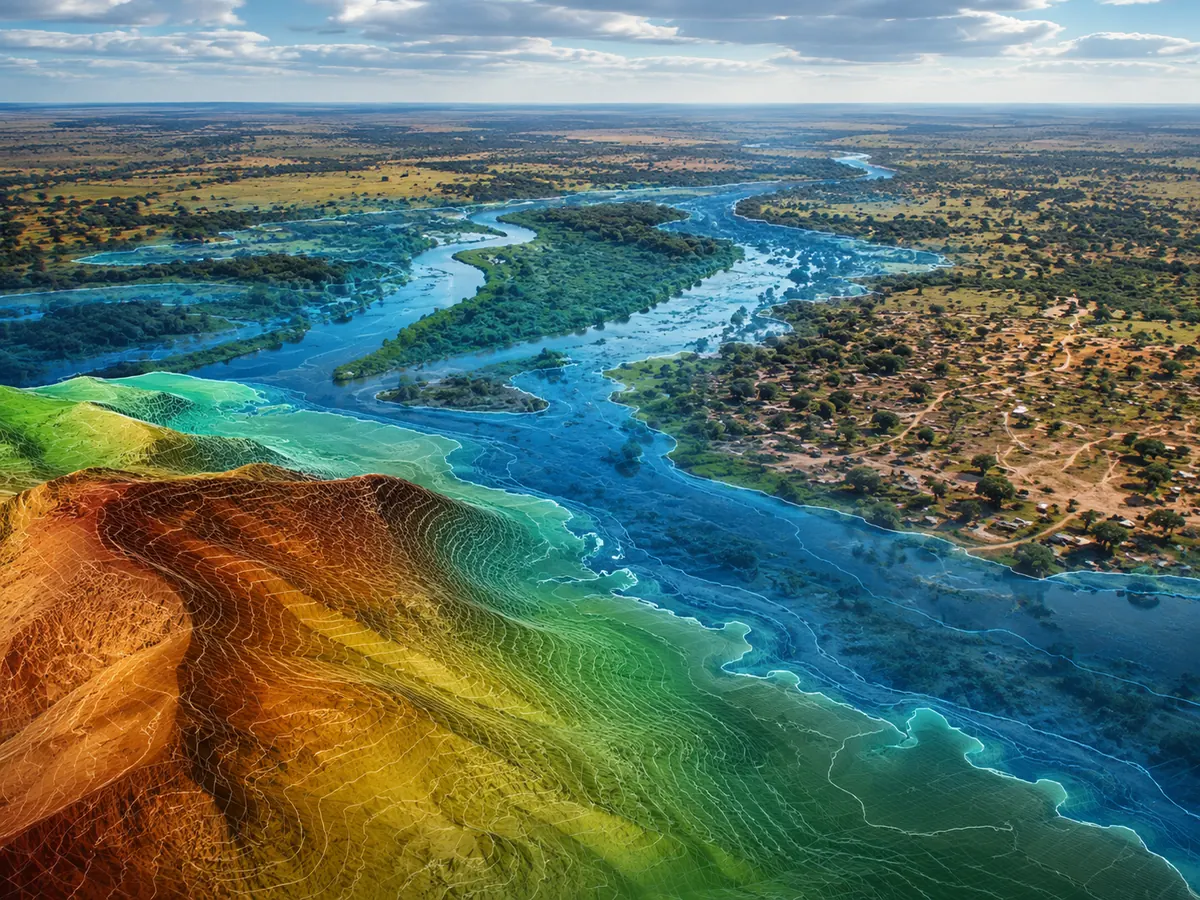
Conservation & Environmental Monitoring
Drone-based mapping and observation for habitat monitoring, wildlife surveys, vegetation assessment, erosion/change detection and environmental documentation.
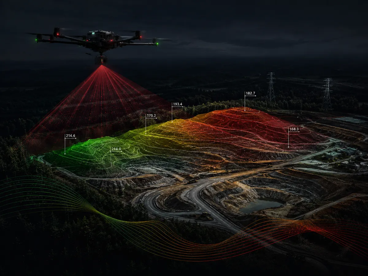
Topographic Survey
Detailed terrain capture for engineering, planning, construction and land development, including contours, spot elevations, orthomosaics and digital elevation models.
Four disciplines, one team.
Survey & Mapping
- LiDAR
- Topographic
- Corridor
- GIS
- 3D modelling
Remote Sensing
- Multispectral
- Thermal
- Aerial imagery
- Change detection
Inspection & Monitoring
- Infrastructure
- Surveillance
- Asset documentation
Mining & Environment
- Mineral exploration
- Stockpiles
- Conservation
- Environmental mapping
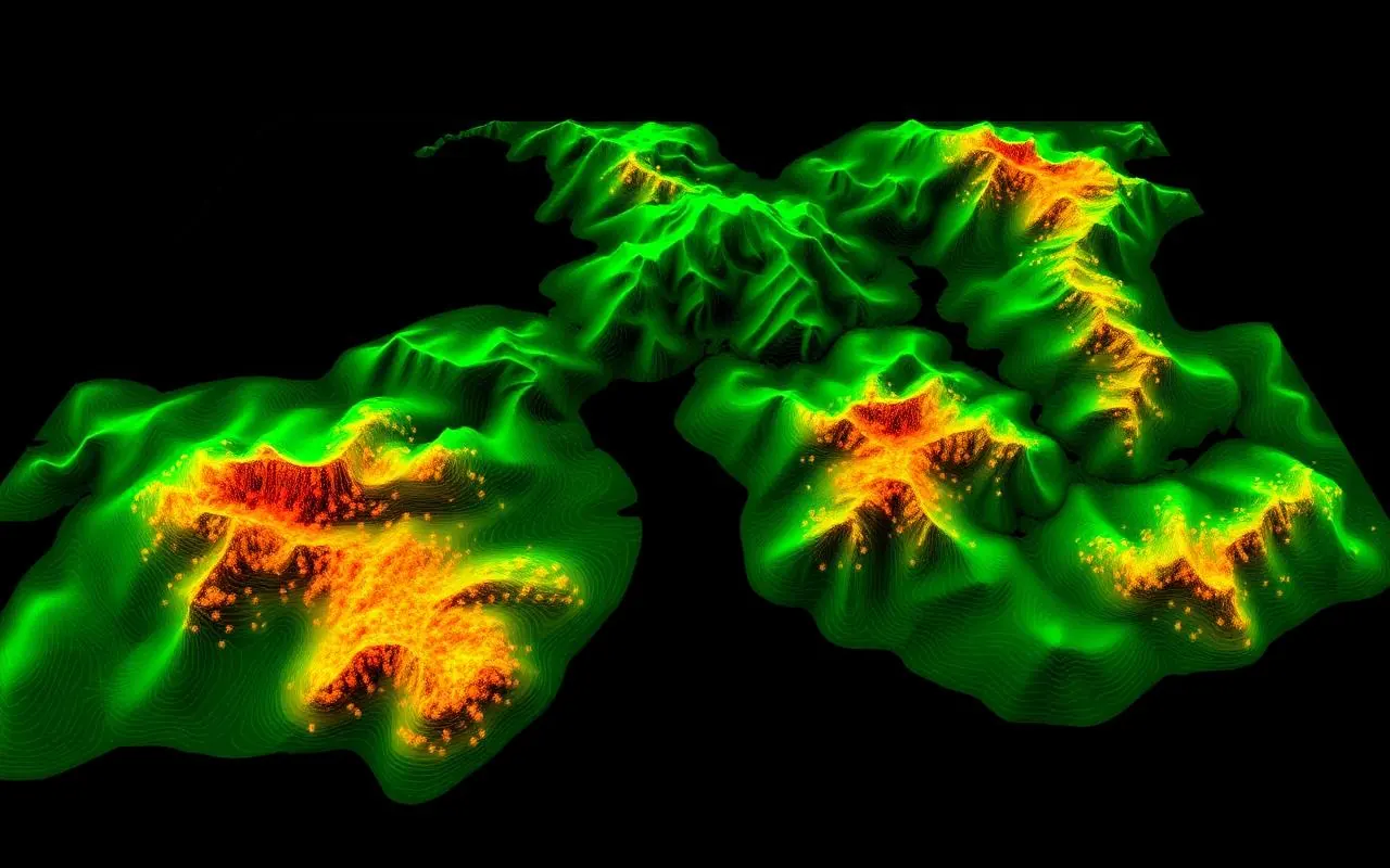
From raw flights to ready-to-use outputs.
Every mission is processed and quality-checked, then delivered in formats your engineering, GIS, planning and operations teams already use.
Built for the sectors that move Zambia.
Ready to get aerial?
Tell us about your project. We'll plan the mission, fly it, and hand you the data.
Start a Project